aerial data collection
a passion for making your life easier.
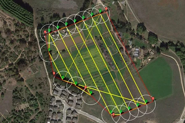
leveraging the technology of Ir thermal, advanced mapping, and aerial flight.
We provide non-invasive aerial data collection using advanced visual and thermal drone technology to safely document conditions that are difficult, dangerous, and time consuming to access from the ground.
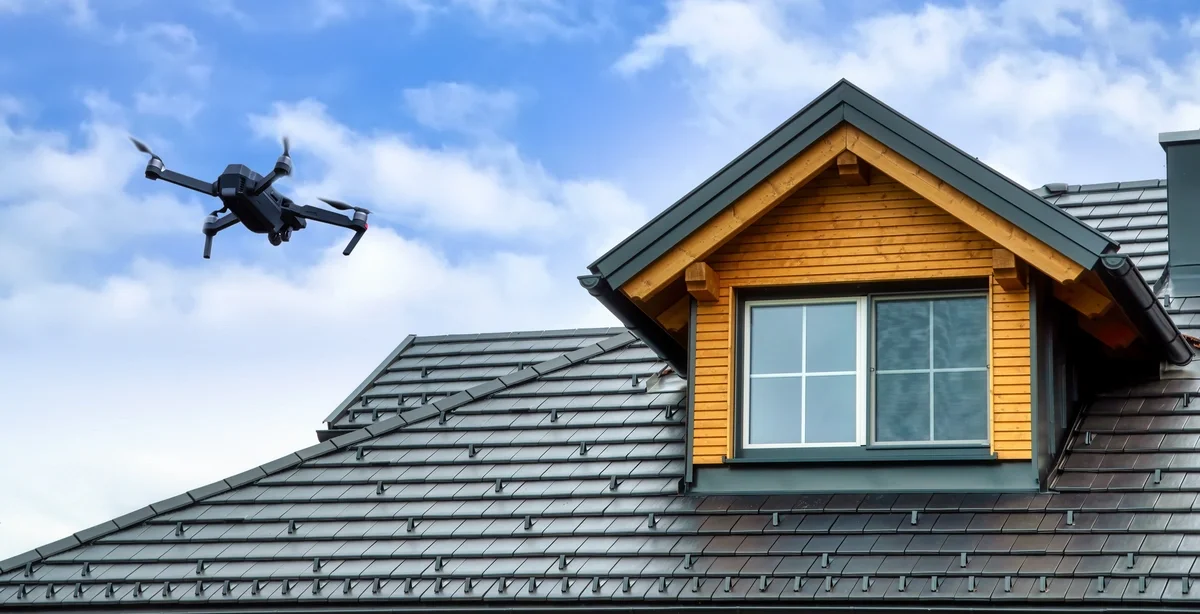
residential & Commercial Exterior documentation
High resolution aerial imagery allows property owners, contractors, and managers to visually access exterior conditions without ladders, lifts, or roof access.
-
Visual or thermal documentation of roof, siding, gutters, chimneys, etc. This service can be used anytime, but is great for post storm damage documentation. Identifying visible wear, damage, and debris. A great solution from contractors to home owners.
-
Utilizing drone technology is not only fast and effective, but is a much safer option. Forget ladders, lifts, and helicopters.
-
Exact pricing is available upon request.
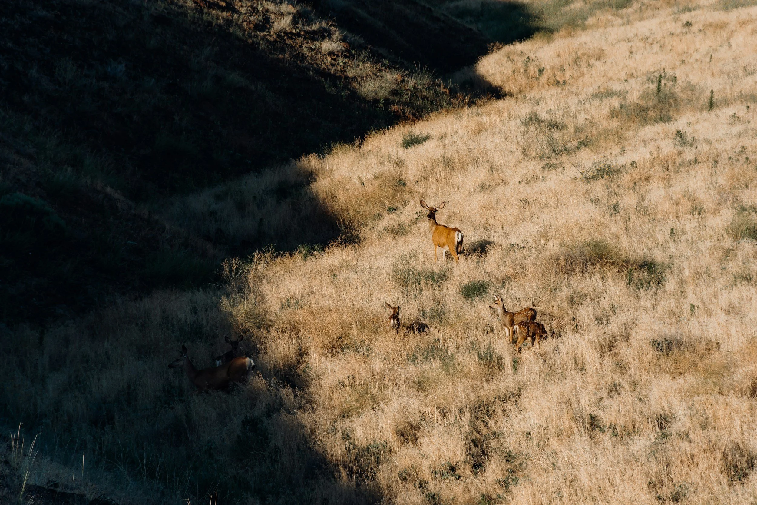
HERD ANALYSIS
Aerial thermal imaging is used to analyze your private land. White tail buck to doe ratio, population of predators, animal movement observations, land measurement, and much more.
-
Determining buck to doe ratio to plan next season hunts, complete land changes, and buying and selling off hunting land.
-
The use of drones beats the use of trail cameras to determine herd population. Save time by not having to place as many trail cameras, and save money on cellular subscriptions.
-
Exact pricing is available upon request.
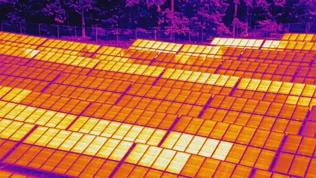
Solar Panel Thermal Imaging
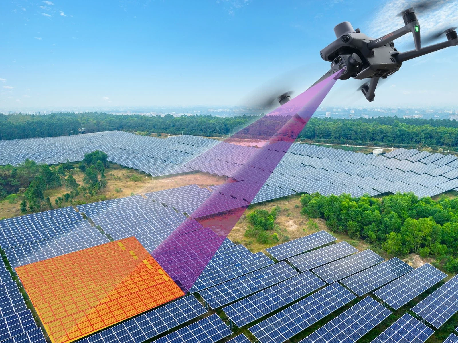
Aerial thermal imaging is used to identify abnormal heat patterns in active photovoltaic systems that may indicate performance issues, connection problems, or damaged components.
-
Single, multiple, or solar field imaging. Post-installation inspection, preventative measures, or maintenance record keeping.
-
The use of drones beats the use of ladders, multiple employees checking each panel by hand, or using a helicopter with a thermal camera, etc. It is safe and efficient saving you time and money.
-
Exact pricing is available upon request.
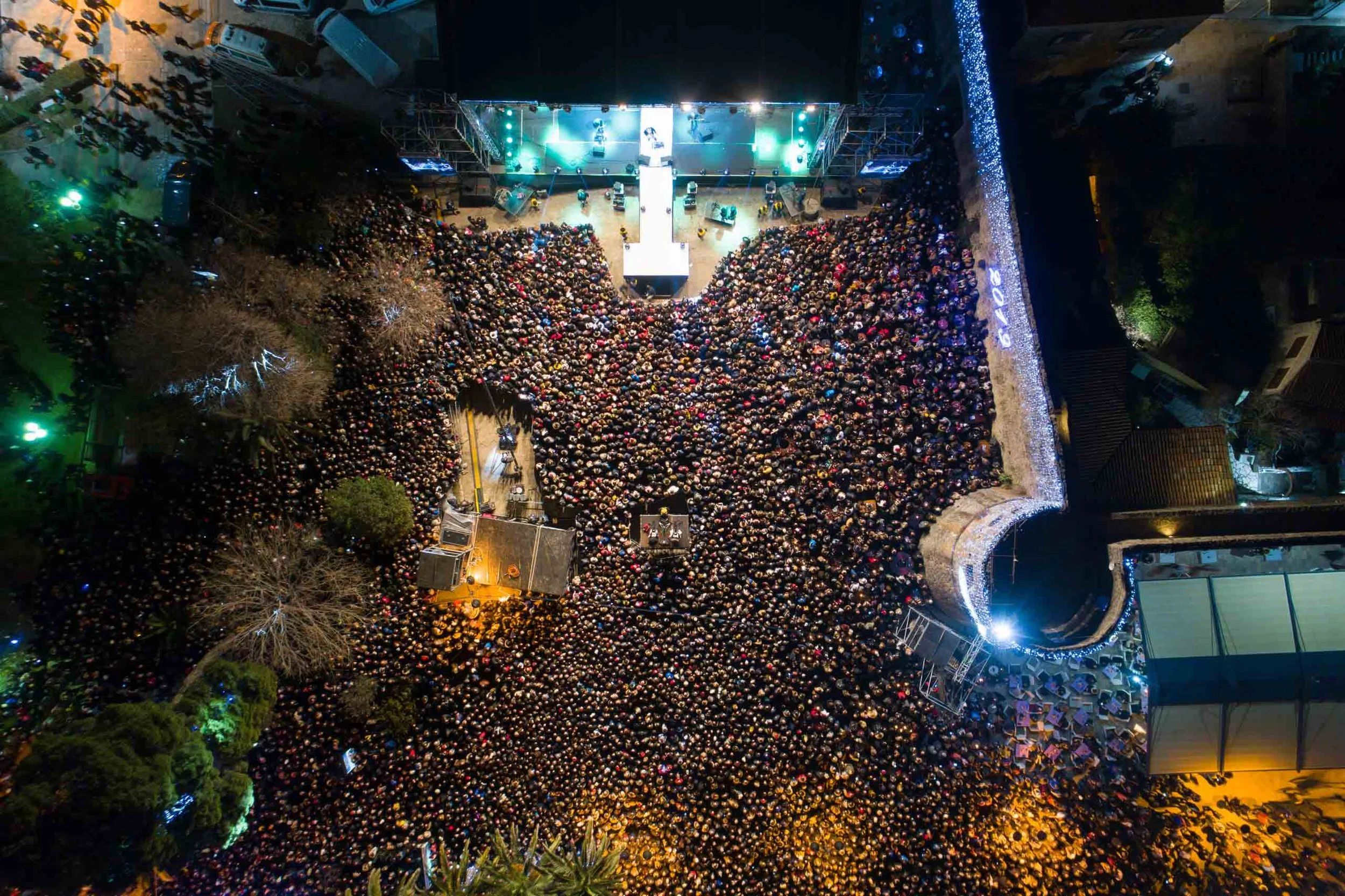
aerial security planning
Aerial imagery provides a top-down perspective to support security planning, risk assessment, and site layout visualization.
-
Event planners must have a plan for risk mitigation, evacuation routes, and closure plans. Let us assist by providing aerial images for ease of planning. Allow us to be on-site during the event for eyes in the sky to relay to your certified security team.
-
Utilizing drone technology is safe and efficient as it allows for a fast overview of the entire site.
-
Exact pricing is available upon request.